
UPDATE: No Snow, But a Big Chill for Greater Danbury + Putnam County
All the talk earlier this week was about possible snow heading our way for Friday. Well now all that has changed, but it's going to get bitter cold just in time for your weekend.
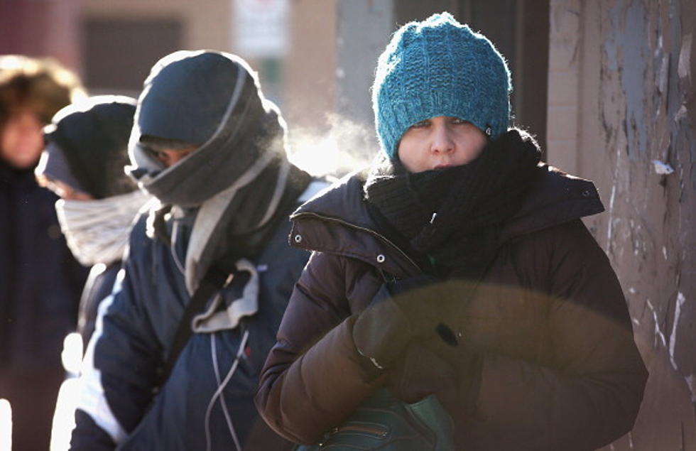
Looks like it's time to dig out the winter coats, gloves, and scarves because the National Weather Service has issued a hazardous outlook for the region, including Greater Danbury, Dutchess and Putnam Counties with just a slight chance of light snow on Thursday night, but one thing is certain we'll all be shivering.
The NWS says that rain on Thursday will change over to snow before ending on Thursday night. A light accumulation is possible, mainly on grassy and non- paved surfaces, but not likely. Some surfaces may become slick by late Thursday night as temperatures fall below freezing. It looks like temperatures will fall into the 20s and 30s even before the cold front gets here by late in the day on Thursday.
Frigid temperatures in early November are actually unusual. You have to have just the right conditions and the perfect atmospheric ingredients to come together. Just to give you an idea of where temperatures should be in the area this time of year, the daily highs should be anywhere from the upper 40s to low 50s, and the average low should fall between the mid 30s to low 40s, according to weatherspark.com.
The brunt of the cold, when you're really going to feel like it's mid-January, will arrive in the area by Friday night and Saturday morning when temperatures may hit record lows in the teens and low 20s. Fortunately, by Sunday, things will get back to where they should be this time of year.
Here's the official National Weather Service Forecast:
Connect with KICKS 105.5 on Facebook, Instagram, Twitter and our mobile app
More From The Wolf


