
After Record Temps, Expect Significant Snow Friday in Connecticut
You know the old saying, "if you don't like the weather in Connecticut, just wait 5 minutes."
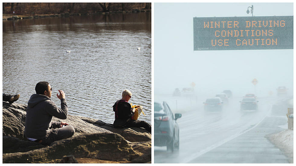
Well that couldn't be more true then what we're seeing weather wise this week. As I write this article, the thermometer at our Brookfield studio says 70 degrees, but that's all about to change....again.

The National Weather Service is watching a low pressure system that's heading our way that will bring a wintry mix of snow, sleet, and freezing rain to the area late Thursday night into Friday.
The system could dump as much as 4-8 inches of snow and sleet in parts of the state and that could effect the morning and afternoon commutes on Friday with dangerous travel conditions possible.
Right now, the entire state is under a hazardous weather alert and a winter storm watch for Thursday into Friday and that means heavy mixed precipitation possible with snow mixing with sleet, and possibly changing over to freezing rain before it tappers off late on Friday.
It also seems like every time we have a forecast like this, there is some uncertainty about just how much we're going to get dumped on. Right now the National Weather Service is saying it may have to revise the forecast as the storm gets closer. The big question that meteorologists have about this storm is the track of the low pressure system. If the system tracks a little more north, the less snow and sleet we'll get, however if it tracks more south, then more snow and sleet is possible.
Of course we're all enjoying the mild temps now, but that will all change on Thursday as temperatures get back to around normal and we see highs around 35 degrees. Then late Thursday night into Friday the fun is slatted to start. Look for 2-4 inches of snow during the overnight into Friday morning. Then the sleet mixes in and a change over to rain is also expected late in the day on Friday, before it transitions to freezing rain by Friday night.
It's like a plethora of all kinds of weather in a short 24 hour period, so buckle up, be safe, and enjoy the next 5 minutes of weather in Connecticut.
KEEP READING: Get answers to 51 of the most frequently asked weather questions...
LOOK: The most expensive weather and climate disasters in recent decades
More From 105.5 The Wolf


